search
New York map 1900
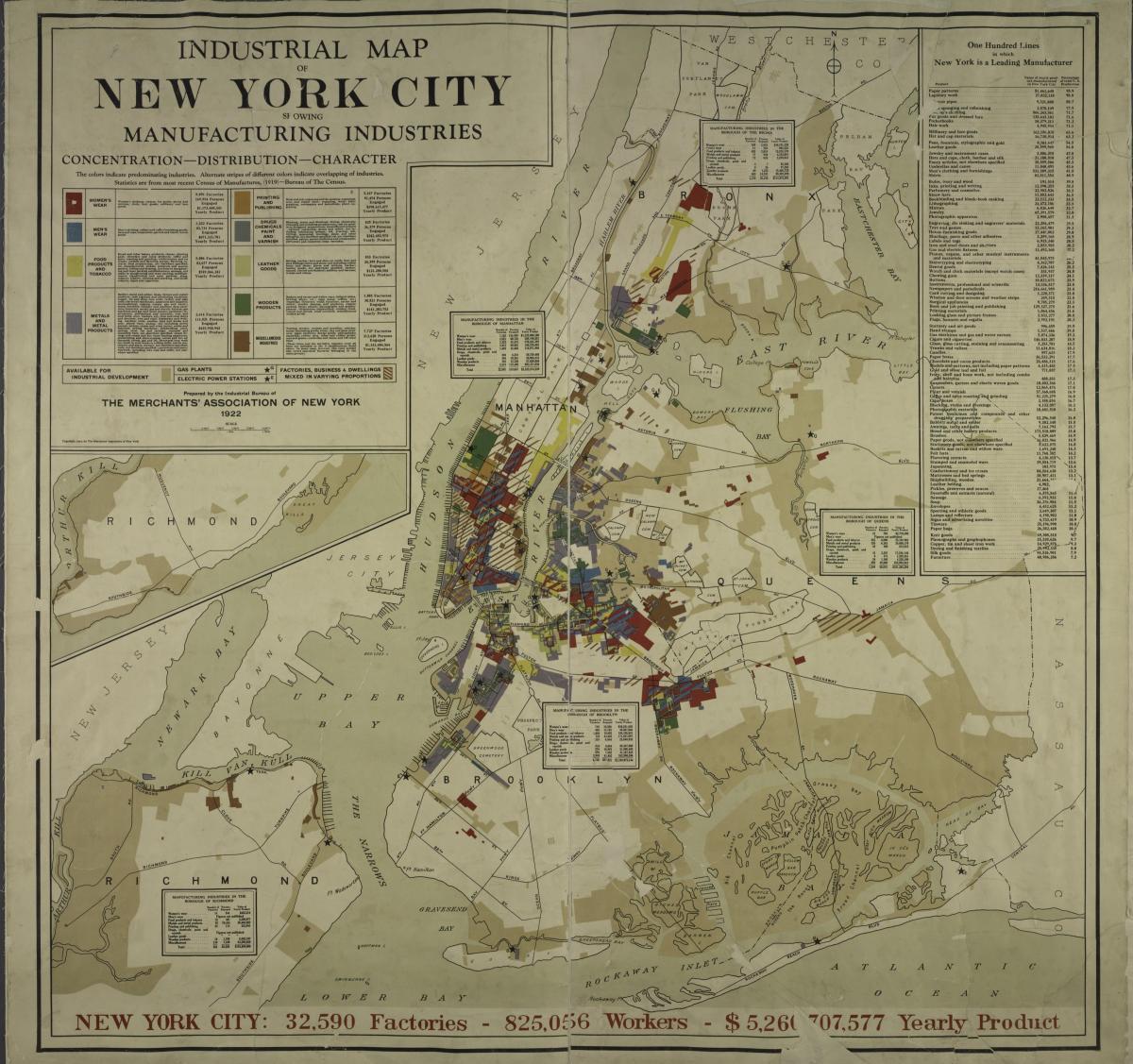
Map of New York City 1900. New York map 1900 (New York - USA) to print. New York map 1900 (New York - USA) to download. In the early 1900s, the intersection between Broadway and Seventh Avenue was called Longacre Square. It became Times Square in 1904, when the New York Times moved its offices to a new skyscraper as its shown in New York map 1900. Construction of the Times Tower began in 1903 and was completed in 1904. The 25-story skyscraper became the second tallest building in New York. It was in 1900 that this location began to become the heart of Manhattan.
At the beginning of 1900, New York became the country largest city with 3,437,202 inhabitants, a number that increased with the arrival of immigrants from Europe. By the same token, New York becomes the first cosmopolitan city in 1900, in the world in which cultures mix. 1900 is also the century of innovation and construction. Longacre Square became Times Square, Coney Island became a major tourist attraction, Flatiron was built during this period, as was the Manhattan Bridge as its mentioned in New York map 1900.


