search
MTA bus map
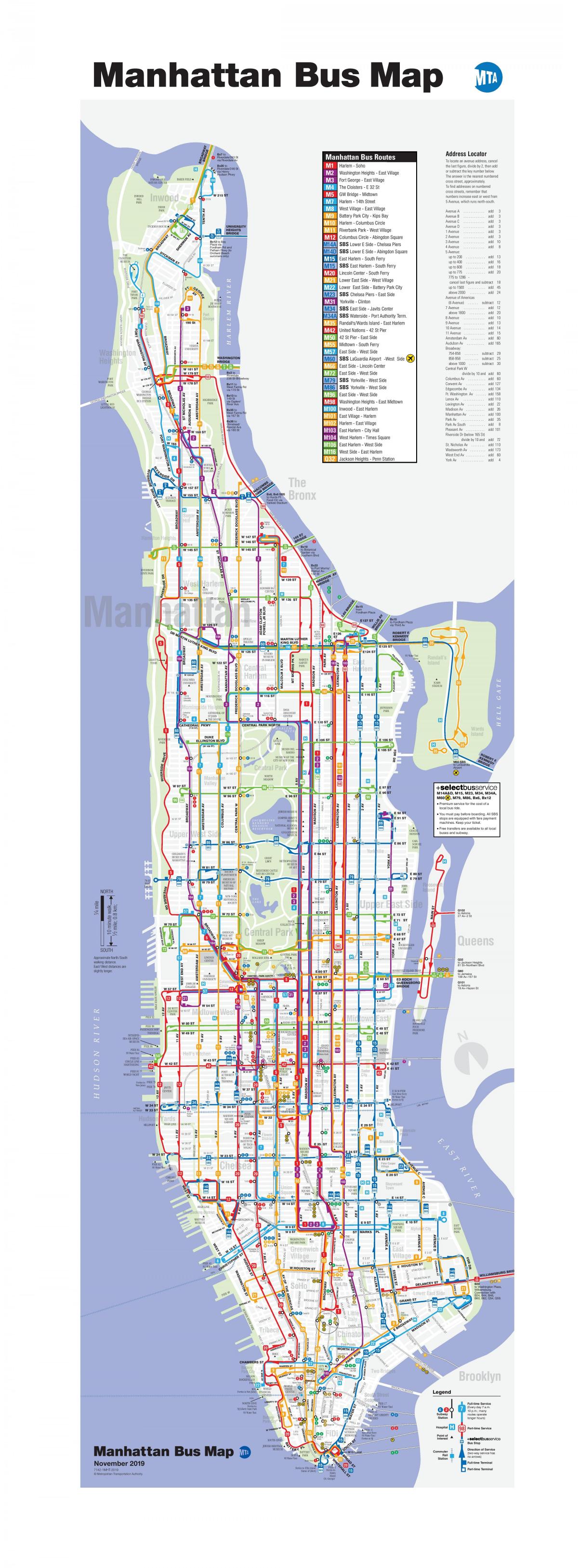
MTA bus route map. MTA bus map (New York - USA) to print. MTA bus map (New York - USA) to download. MTA Bus Company is a service of MTA Regional Bus Operations used on routes previously controlled by the New York City Department of Transportation (NYCDOT), and operated by private operators that provided service under contract to the NYCDOT as its shown in MTA bus map. Currently, the public distinction between MTA Bus and New York City Bus is only visible on the actual rolling stock and published timetables.
MTA Bus Company was established in late 2004 to take over privately operated bus routes operated under contract to the NYCDOT. The routes of MTA bus were taken over on a staggered schedule, beginning with Liberty Lines Express in January 2005 and ending with Triboro Coach Corp. in February 2006 as its mentioned in MTA bus map.
The current MTA Bus base fare is the same as that of the New York City Transit Authority: $2.25 for local and limited-stop service and $5.50 for express bus service, payable in coins or MetroCard only. MTA Bus provides local bus service primarily in southern, western, and central Queens, with local and limited-stop bus service (as you can see in MTA bus map) where private operators contracted by the New York City Department of Transportation formerly provided service.
Within New York City, similar to routes operated under New York City Bus, the color of the route on a bus stop sign indicates the type of service run. Unlike the signs for the NYCT routes which were completely replaced by the mid-2000s, many signs for MTA Bus routes still sport 1970s-1990s era blue and red NYC DOT signage as its shown in MTA bus map. Routes of MTA bus are branded on bus stop signs, which are normally located every 2-3 blocks apart in most cases.


